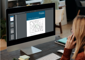
Preview and assess crucial property information
Data Snapshot has been designed using feedback from the very people who now use it. Whether you’re working on a complex commercial site or a portfolio of residential properties, Data Snapshot allows you to consult with your clients about important risk factors in an instant.
With the interactive map, you have complete flexibility to save multiple views, add comments, toggle data layers on and off, and mark up the map using a multitude of tools.
Access the interactive live map via the link provided. A PDF version is also available upon request for a small fee.

Data Snapshot is an extension of our vision – to create products and services based on openly available data and help firms with the adoption of technology.
Features
- Report is available instantly.
- Fully interactive map, giving you greater flexibility and customization.
- No restrictions on data layers – you can include as many data layers as you need.
- Directly links to the register of overseas entities
Benefits
- Remotely and visually interact with your clients using maps, live data and boundary information – removing the limitations of static reports.
- Annotate mapping, leave comments and highlight risks in real-time.
- Colour-coded functionality to instantly identify unregistered land.
- Time and date stamped report to help provide an audit trail for your due diligence.
- Faster risk assessments that leave you more informed and able to provide an enhanced client experience.
 Data Snapshot: Just one of our Instant Products…
When it comes to gathering information about your clients’ commercial properties, time is of the essence. That’s why we offer a suite of instant products designed to provide you with accurate and organised insights without any delays. They not only compliment each other but also excel independently. Whether you choose to use 1, 2, or all 3 of these solutions, their impact on your business will be significant.


